Construction photo documentation by location
Construction photo documentation software is only useful if reviewers can find the room. Documenting by location — not by week, trade, or camera roll — is the difference between a photo dump and a record the job can stand on.
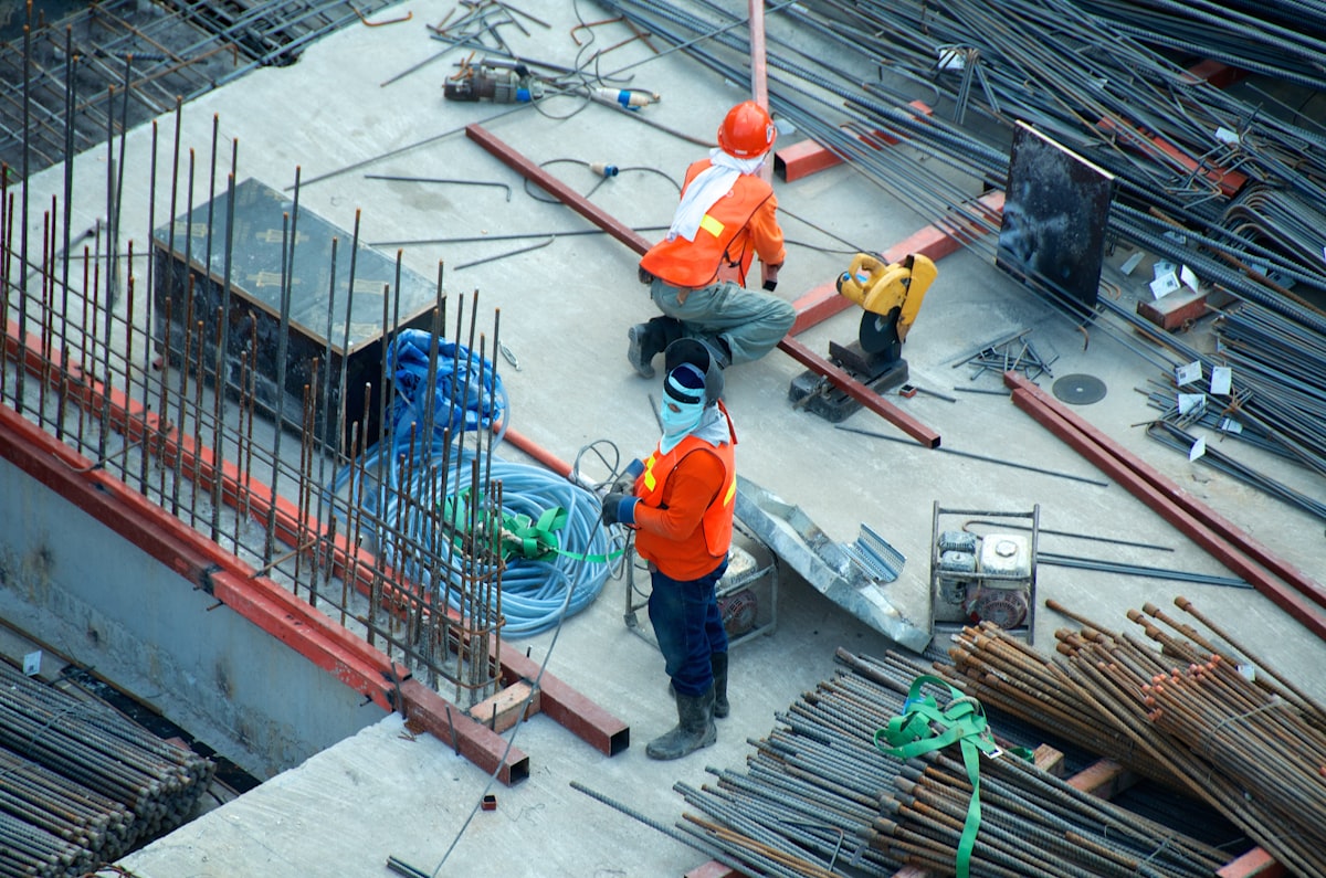
Folders named after the week fail later
“Week 12” tells you when. It does not tell you which elevation, which unit, or which punch item. Months later, a callback or a dispute still needs the room. Construction photo documentation by location keeps that answer on the drawing.
What location-based documentation looks like
- The floor plan or elevation is the index.
- Waypoints mark rooms, zones, and elevations.
- Progress photos, punch photos, and notes attach at those pins.
- The exported photo report carries the spatial trail.
That is plan-based photo documentation. FotoLedger is the field tool for it: spatial documentation with waypoints, then a client-ready PDF.
Document a construction siteProduct landing: construction photo documentation software. Jobsite overview: construction photo documentation.