Inspection photo reports mapped to the plan
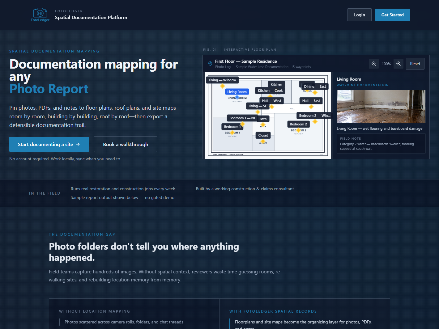
Property inspection photo documentation only holds up when the reviewer can find the room. FotoLedger is a field inspection app for site documentation: pin inspection photos to floor plans, roof plans, and site maps, then export an inspection photo report with location context.

Where this workflow fits
- Building and facility condition walkthroughs.
- Property inspections and site inspections.
- Roof inspections on a roof plan (see roof inspection photo documentation).
- Unit-level move-in / move-out records (see property condition documentation).
FotoLedger does not write a full narrative inspection or replace a code checklist. It organizes inspection photo documentation on the drawing so the PDF is followable.
How an inspection photo report is built
- Load the floor plan, roof plan, or site map.
- Place waypoints on rooms, elevations, or zones you will inspect.
- Capture or upload photos at each pin.
- Add notes or supporting PDFs at the same locations.
- Export a PDF inspection photo report with the spatial trail intact.
Frequently asked questions
What is inspection photo report software?
Software that turns field photos into a structured report with location context. FotoLedger pins each image to the plan, then exports a PDF.
Can I use FotoLedger for property inspection photo documentation?
Yes. One waypoint per room, photos and notes at the pin, room-indexed export.
Does this work for roof and site inspections?
Yes. Same pins on roof plans and site maps.
Is FotoLedger a full inspection writing platform?
No. Photos, notes, and PDFs on the plan. Not a narrative writing suite.
For report quality (not the product overview), see how to create better inspection photo reports.